Zeon Viewer in HEC-RAS on cross section builder
CASE STUDY: Working Example on HEC-RAS cross section generation by Zeon
Viewer
Introduction
HEC-RAS application is a very powerful application where it
can do a number of analysis of hydraulic and hydrology especially in river. It
can use to create modeling system goes under one dimensional steady flow,
unsteady flow calculations, sediment transport/mobile bed computations and
water temperature modeling. Besides, most important is it is FREE software. As
a result, it will attract a lot of users to use it.
In the river hydraulics works, it will involve on preparing
cross sections. One of daunting issue is the time on preparing cross section.
Whenever engineer needs to study a site, normally engineer will requests ground
data such as require land surveyor to go to site to take some measurements.
Important information will be the levels of site. Land surveyor will compiles
the result tentatively presented in drawing in dwg format. Or provide a raw
data of coordinates in plain text format etc. One of the limitation of HEC-RAS,
it cannot operate with dwg drawing. As a result, once the data given in drawing,
engineer will need a substantial of time to extract data such as cross section
or profile from drawing. Basically, engineer will marks out location of river,
demark location of cross sections. Then engineer will extract one by one either
direct manually from printed drawing or use any CAD software to measure out.
Both ways will needs a lot of time to do it. Engineer needs to measure
coordinate by coordinate, and then capture corresponding Z value or elevation
of coordinate. After those coordinates, engineer begins to transfer into
HEC-RAC cross section input. He has to go through River station by station,
enter require coordinate in Cross Section Coordinates table. Do imagine that if
there are a number of sections to be generated, this can be a nightmare for
him.
With our Zeon Viewer, we have a feature of extracting cross
section profile from digital drawing of land surveyor. In which it is a handy
method to do it. It does not requires very expect person to handle it. It just need
a CAD operator will do. What it needs is some basic information about CAD, such
as Text entities of surveyor data in layers; then the location of cross
sections. All these works can be done by CAD operator such as draft person.
·
First step in our Zeon Viewer will be identify
text entities of land surveyor data in layer names.
·
Second step will be extracting these data in
Zeon Viewer.
·
Third step is to generate 3D terrain.
·
Fourth step is to demark location of cross
sections in CAD drawings.
·
Fifth step is to generate cross sections.
·
Finally step is to export cross sections
coordinates directly to HEC-RAS, text file or excel file.
It depends on user preference. It just needs six steps to
complete cross sections data. If all data in order, it will merely take user
around 5 to 10 minutes to setup and run but it still depend number of sections
need to be built. With cross section data generated in HEC-RAS, user can
expedite on HEC-RAS setup.
Steps
Step 1. Identify entities.
Open Bricscad with land surveyor drawing. User needs to
demark location of cross sections in drawing.


Step 2. Extract data

Step 3. Generate Terrain.

2dWireframe
mode of 3D terrain.


Identify text entities layer names.

Step 2. Extract data

Check the Height in EL column for existing level entities.
It can be checked more than one.
Step 3. Generate Terrain.
Select run 3D button to generate 3D.


User can view 3D terrain by change the Visual Style in
properties from 2dWireframe to Shaded mode.

User can rotate to visualize 3d terrain.


Step 4 Add sections.
Turn back to 2dWireframe mode, and turn off 3d element on
toolbar 3d(small button).


Step 5 Run sections
Select Section button to run. New sections are created. It
will ask for location of sections to be plotted.
Corresponding added sections will be shown in dock panel
section. Please do not use undo/redo to any section added.


Step 6 Export data.
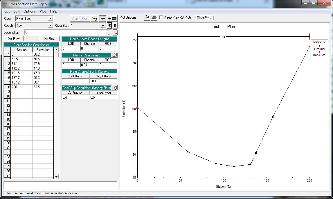
User can export to HEC-RAS by select export Hec-Ras button.
Exported project file can be opened in HEC-RAS.


Alternatively, user can just export the coordinates of
section by export file button.
Two modes are supported. Plain text file or excel file.


More info, please visits www.civilstructural.com.my
posted by Chee at
11:45 PM
![]()

0 Comments:
Post a Comment
Subscribe to Post Comments [Atom]
<< Home